ON THIS DAY · AUGUST 7, 1959
The First Look Back Home: How Explorer 6 Transmitted humanity's First Crude Photo of Earth from Space
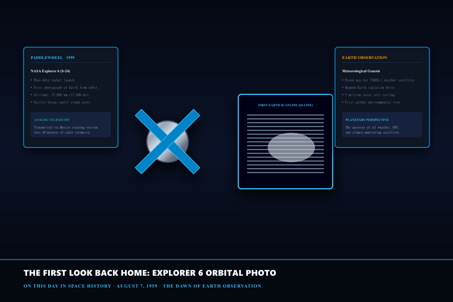
Before August 7, 1959, humanity had never seen a photograph of Earth taken from orbital altitude. Transmitted line by line over a 40-minute radio signal, a crude, blurry facsimile of cloud-covered sunlight over the Pacific Ocean inaugurated the era of space photography and Earth observation.
The Paddlewheel Design and Spin-Scan Mechanical Imaging
Explorer 6 was a spheroidal 64-kilogram satellite equipped with four extending paddle-shaped solar arrays that earned it the nickname 'the Paddlewheel.' Because digital CCD sensors and lightweight solid-state television cameras did not yet exist, imaging engineer Robert Asendorf and his team at Space Technology Laboratories (STL) devised an ingenious mechanical spin-scan system.
The optical payload consisted of a single micro-photodiode placed behind a tiny telephoto lens. As the satellite spun on its axis at 2.8 revolutions per second, the photodiode swept across the Earth line by line, measuring variations in reflected light intensity. The orbital motion of the satellite provided the vertical stepping necessary to compose a complete 64-line raster image.
Telemetry Across 27,000 Kilometers: Reconstructing the Pacific Image
Capturing the image was only half the engineering challenge; sending it back to Earth tested the absolute limits of 1959 radio telecommunications. Explorer 6 transmitted its signals at 108.06 MHz using a tiny 5-watt transmitter powered by its solar paddles.
A tracking station located in Kaena Point, Hawaii, received the faint analog radio stream. Because of orbital telemetry noise and transmission bandwidth bottlenecks, decoding the single crude image required nearly forty minutes of continuous signal recording. When printed onto photographic facsimile paper, the resulting image revealed bright cloud patterns against the darker ocean surface.
The Genesis of Global Environmental and Weather Monitoring
Though primitive and low-resolution by modern digital imaging standards, the Explorer 6 photograph proved that space-based remote sensing could observe broad meteorological phenomena across entire continents and oceans.
The success of this experiment directly accelerated NASA's development of the TIROS (Television Infrared Observation Satellite) program, which launched TIROS-1 just eight months later in April 1960. Explorer 6 permanently transformed human perspective, proving that Earth could be observed as a unified, interconnected ecological system from space.
What the evidence does not settle
The first photograph transmitted by Explorer 6 was heavily distorted due to orbital wobble and low signal-to-noise ratio, requiring substantial manual contrast enhancement to distinguish cloud banks from ocean background. Micro-meteoroid impacts and radiation also degraded the satellite's solar cells after two months of operation.
PRODUCT IDEA 01
NASA Retro Meatball & Worm Logo Pullover Cotton Hoodie

A premium heavy-blend fleece pullover hoodie featuring authentic NASA retro chest emblems, honoring the golden age of American space exploration and orbital science.
Buying limit: Look for durable double-stitched seams and official NASA licensing tags. Quality space enthusiast hoodies retail from $35 to $65.
Original editorial illustration, not a retailer photograph. No exact Amazon offer passed our verification gate.PRODUCT IDEA 02
Illuminated Topographic Magnetic Levitating Earth Globe Lamp
An illuminated 3D magnetic floating Earth globe that hovers and silently rotates in mid-air, offering high-resolution continent cartography and warm LED desk lighting.
Buying limit: Select models with automated electromagnetic power-loss protection to prevent globe falls. Quality floating globes range from $45 to $90.
Original editorial illustration, not a retailer photograph. No exact Amazon offer passed our verification gate.SOURCES, METHOD, AND LIMITS
Researched using NASA Goddard Space Flight Center historical mission monographs (NASA SP-4012), Space Technology Laboratories technical reports, and primary telecommunications documents from the Smithsonian National Air and Space Museum. No commercial products were physically tested.
- NASA History Division — Explorer 6 Spacecraft Summary & Orbital Imagery Archive — Official historical mission documentation recording launch vehicle telemetry, spin-scan photodiode operations, and facsimile reproduction logs.
- Smithsonian National Air and Space Museum — Explorer 6 Flight Model and Science Payload — Curatorial technical record detailing the paddlewheel solar arrays, micrometeoroid counters, and the first orbital Earth scanner.