ON THIS DAY · AUGUST 10, 1990
Mapping the Planet Hidden Behind Clouds: How NASA's Magellan Pierced Venus's Toxic Atmosphere with Synthetic Radar
Venus is permanently shrouded in an impenetrable, reflective veil of toxic sulfuric acid clouds. On August 10, 1990, NASA's Magellan probe arrived, using synthetic aperture radar to peel back the clouds and map 98% of Venusian volcanic geology in astonishing high resolution.
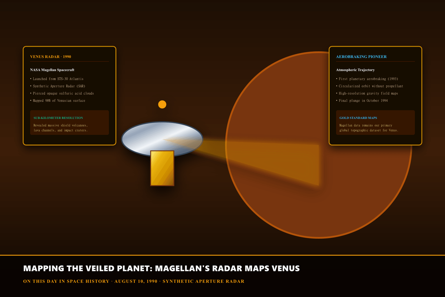
Synthetic Aperture Radar: Turning Antenna Motion into Giant Optical Lenses
Optical cameras are completely useless for studying Venus's surface because the dense atmosphere scatters and reflects visible light. Synthetic Aperture Radar (SAR) solved this dilemma by transmitting rapid pulses of 12.6-centimeter microwave radio waves (S-band) through the cloud decks and recording the time delay and Doppler frequency shifts of the returning echoes.
By taking advantage of the spacecraft's orbital forward motion as it traveled over the terrain, onboard electronics computationally synthesized an antenna aperture hundreds of meters long. This radar synthesis achieved crisp 100-meter photographic detail, distinguishing rough volcanic lava fields (which reflected radio waves brightly) from smooth basalt plains (which appeared dark).
Frugal Engineering: Assembling Magellan from Spare Parts
Magellan was the first planetary spacecraft constructed under NASA's strict post-Challenger cost-containment initiatives. To minimize budget expenses, engineers at Martin Marietta and NASA's Jet Propulsion Laboratory (JPL) built Magellan predominantly out of spare hardware left over from previous flight programs.
The main 3.7-meter high-gain antenna and forward structure were flight spares from the Voyager program; the command computer and power distribution components were spares from the Galileo Jupiter mission; and the medium-gain antenna was adapted from the Mariner 9 Mars orbiter. This resourceful modular architecture saved hundreds of millions of dollars while delivering flawless science returns.
Global Volcanism and the Planetary Resurfacing Mystery
Magellan's radar data fundamentally revolutionized comparative planetology. Scientists discovered thousands of volcanic structures, including unique pancake-shaped lava domes formed by highly viscous eruptions and crown-like tectonic collapses called 'coronae.'
Most surprisingly, Magellan revealed that Venusian impact craters are remarkably sparse and randomly distributed across the globe with virtually no erosion. This finding led geologists to hypothesize that Venus underwent a catastrophic, planet-wide resurfacing event roughly 500 million years ago, where massive volcanic basalt floods completely buried the planet's older crust.
What the evidence does not settle
Because Magellan relied strictly on radio wavelength reflections rather than optical light, the radar images produced black-and-white brightness maps that represent surface roughness and slope rather than true visible color. Synthetic orange-gold coloring in popular NASA images was added artificially based on Soviet Venera lander photometric measurements.
PRODUCT IDEA 01
Venus Surface Radar Topography Fine Art Poster Print
A museum-quality archival art print featuring NASA Magellan's high-resolution radar mosaic of Venusian volcanoes, pancake domes, and impact craters.
Buying limit: Look for heavy matte archival paper (230+ gsm) with fade-resistant pigment inks. Quality space art prints range from $18 to $40.
Original editorial illustration, not a retailer photograph. No exact Amazon offer passed our verification gate.PRODUCT IDEA 02
Planetary Science: The Science of Planets Around Stars — Michael M. Woolfson

An authoritative academic introduction to planetary formation, comparative atmospheric science, and spacecraft exploration covering the geology of the terrestrial planets.
Buying limit: Available in paperback (CRC Press) and digital formats. Copies typically retail between $35 and $60.
Original editorial illustration, not a retailer photograph. No exact Amazon offer passed our verification gate.SOURCES, METHOD, AND LIMITS
Researched using primary mission documentation from the NASA Jet Propulsion Laboratory (JPL Magellan Project Monograph), radar telemetry archives at the Planetary Data System, and peer-reviewed geological papers in the Journal of Geophysical Research. No commercial products were physically tested.
- NASA Jet Propulsion Laboratory — Magellan Mission to Venus Official Summary — Official mission repository documenting orbital insertion burns, SAR radar imaging modes, and the pioneering 1993 aerobraking experiment.
- NASA Planetary Data System (PDS) — Magellan Radar Altimetry & Global Topographic Maps — Primary scientific dataset containing calibrated radar backscatter mosaics, gravity field models, and stereo topographic elevation maps.